Laser scanning
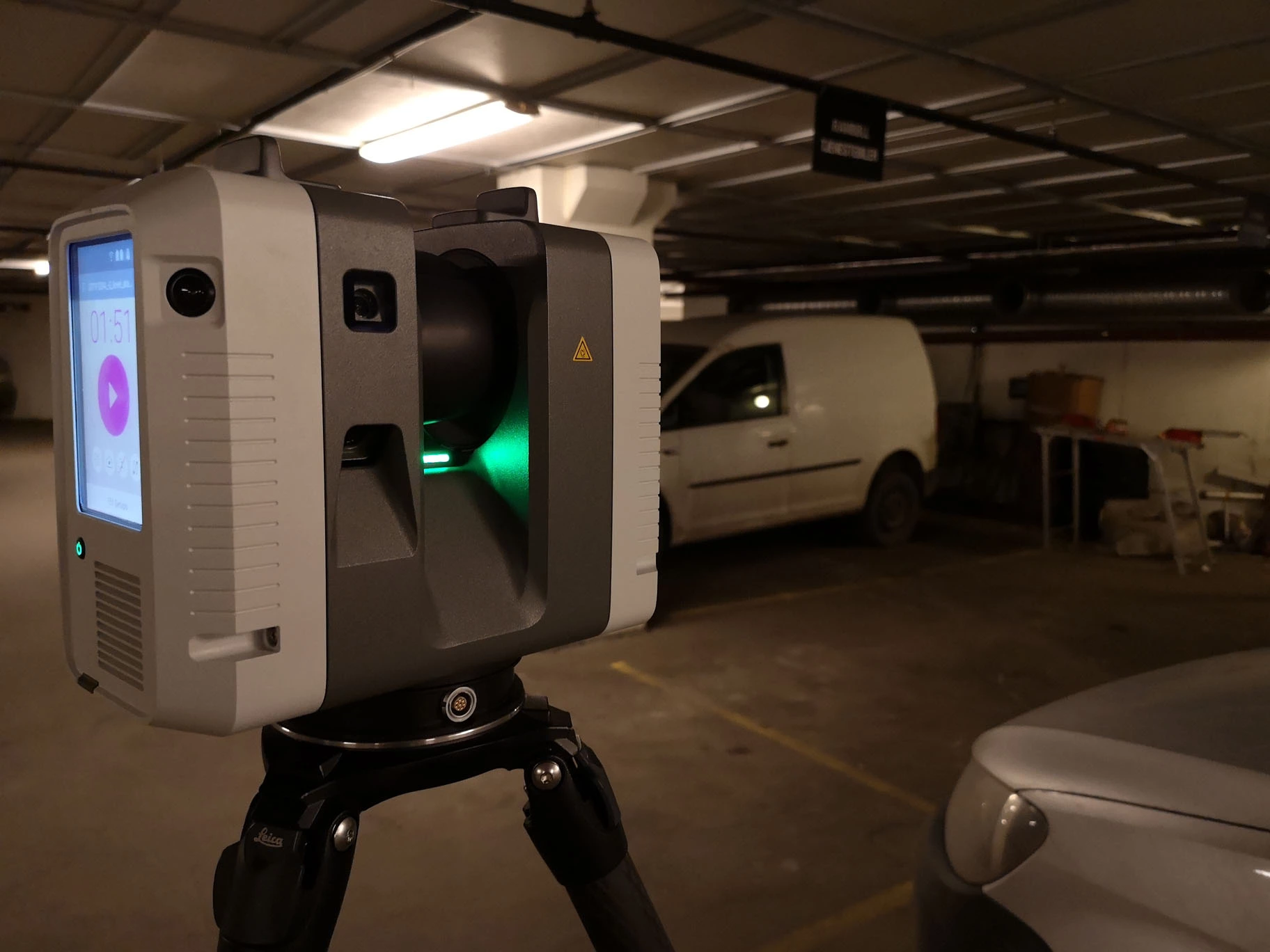
The fastest and the most effective method for digitalizing geometry of existing facilities like buildings, roads, terrain, railroads and many more. As a final product, it delivers cloud of million or even billion points positioned with millimeter accuracy. It is the best way to create digital twin of the construction and thereby transform into sustainable facility. Laser scanning is the very first step to produce 3D digital documentation in BIM (Building Information System) technology which leads to sustainable and robust architecture’s maintenance with the use of IoT (Internet of Things).
Photogrammetry
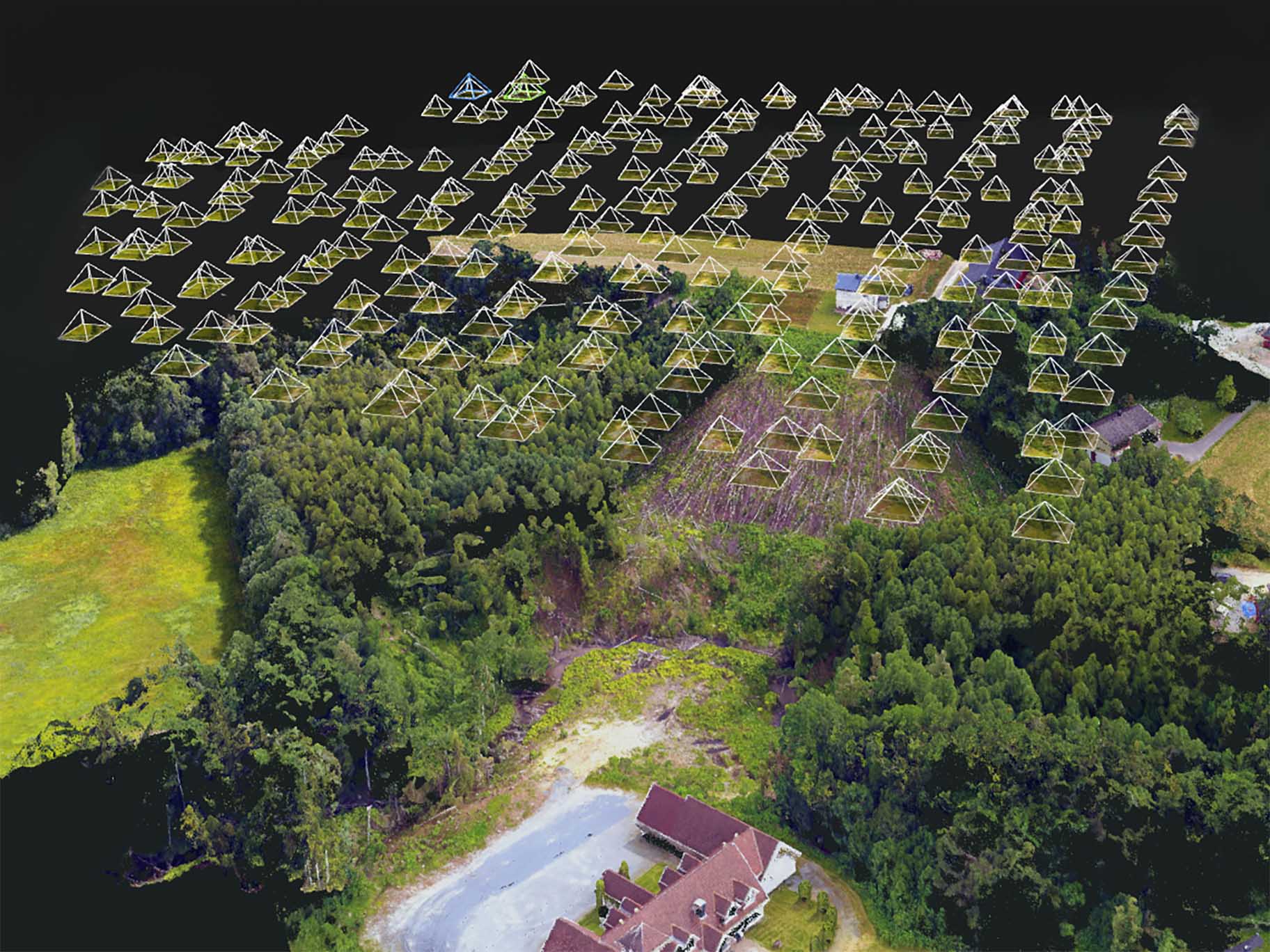
It’s old technique harnesses the stereography method to create the 3D representation of photographed object. This object can be a building, terrain, road, etc. Advances in technology and miniaturization increase the resolution of photos and their quality while reducing size of the cameras themselves. Nowadays, UAVs (Unmanned Aerial Vehicle) like semi-professional drones can collect hundreds of high resolution pictures during one flight session which become 3D model by using photogrammetric software.
Mobile Mapping
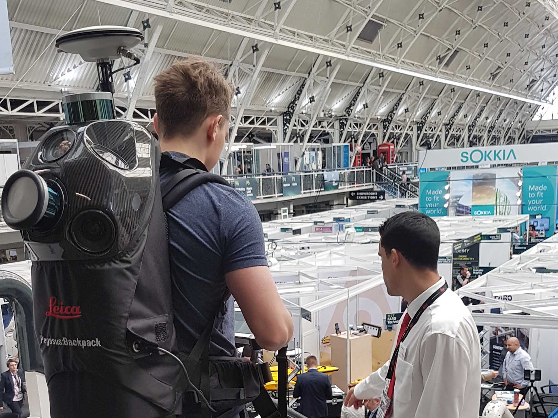
Mobile mapping lets to collect terabytes of accurate terrestrial data (imagery and point cloud) in relatively short time. Urbanized areas, complex buildings, long constructions like roads, tunnels, railroads or even whole cities suppose to be scanned fast comparing to area size. In this case, mobile scanning which bases on complex scanning systems mounted on a vehicle or a man is the best solution. It usually contains IMU, LiDAR scanner(s), GNSS antenna(s) and several cameras for 360 panorama pictures. Collected data from all of these sensors are combined together in a single point cloud and series of pano-pictures. This type of equipment is used during driving by car, trolley, quad, railway car or can be carried by a man in hand or in backpack.
Handheld scanning
It uses one of several different methods of measurements. They differ with accuracy of the point cloud and speed of collecting data. By choosing the most suitable technique of handheld scanning to a purpose it can become standalone solution or a supplement to terrestrial scanning. Aerospace, textile industry, automotive industry and generally mechanics use the most accurate scanning arms which reach fraction of a millimeter accuracy. Much cheaper and not so precise scanners are used in AEC (Architecture, Engineering & Construction), gaming industry and for a hobbyist’s purpose to create a 3D digital copy of a small room, a piping or e.g. a car.
Terrestrial Laser Scanners
- Phase scanner
- Pulse scanner
- Leica RTC360
- Leica P and C-series
- Faro X and S series
- Trimble X7
- Trimble TX series
- Z+F IMAGER 5016
- Stonex X9
- Topcon GLS-2000
- Riegl VZ series
Photogrammetry
- Camera mounted on multicopter
- Camera mounted on fixed-wing UAV
- DSLR
- Mirrorless camera
- 360 camera
- DJI Phantom series
- DJI Inspire
- DJI Mavic series
- Autel EVO 2
- Parrot Anafi
- WingtraOne
- eBee
- Insta360
- Ricoh Theta
Mobile Mapping
- Mounted on a car
- Mounted on UAV
- Backpack
- Trolley
- Mounted on a rolling stock
- Stormbee
- NavVis M3
- Trimble GEDO System
- Leica Pegasus series
- Leica SiTrack
- Gexcel Heron backpacks series
- Faro Focus Swift
- Trimble Indoor Mobile Mapping System
- Topcon IP-S3
Handheld Scanners
- LiDAR scanner
- Structured-light 3D scanner
- Depth sensor
- Artec series
- Creaform Go!SCAN Spark
- EinScan Pro 2x Plus
- Leica BLK2GO
- Paracosm PX-80
- DotProduct DPI-10
- GeoSLAM ZEB Revo RT
- Calibry
- Intel RealSense cameras
I am Lukasz and I am author of this page. I am geomatics engineer and software developer. Enthusiast of new technologies. I would like to share my knowledge about laser scanning and scan-to-BIM modeling with You. I hope you will find interesting you information and you will use them in your daily workflow.
I am recording short videos and longer tutorials on my Youtube channel. You are very welcome to watch them and share.
I also write articles and reviews of laser scanning equipment and software. It would be wonderful if you would find there some decent information. You will find them here.
Professionally I work with the point clouds, 3D modeling, and web-development.
Would you like know more about me and my projects?
Contact me by e-mail
